March 27th, 2024
almost 2 years ago by Kili Technology
Changelog (v2.148.10)
New
- [Labeling] We have introduced a new feature in our data labeling platform: Image Interpolation. Now, when faced with pixelated images, you can enhance clarity by activating the Depixelate option found in the display settings menu. This feature ensures improved visualization for more accurate labeling, especially when dealing with low-resolution images
Change
-
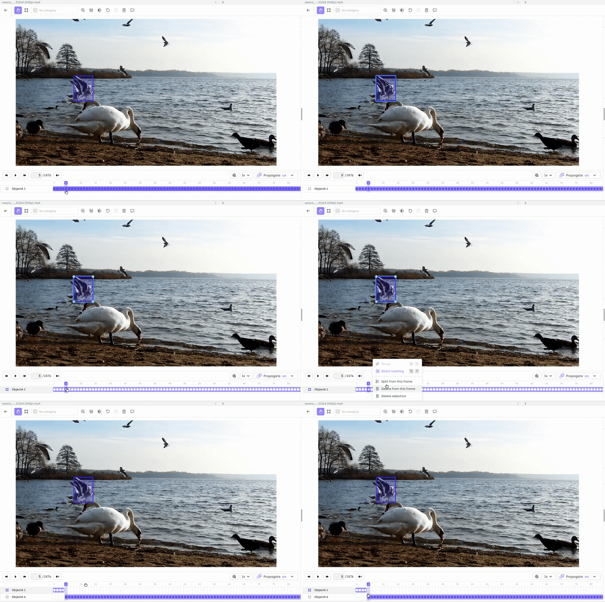
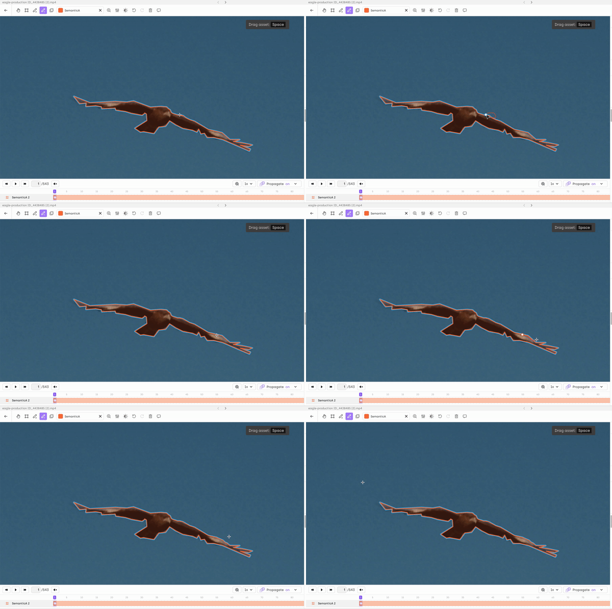
[Labeling] We are excited to announce that our Video labeling interface with improved performance is now live!
This interface includes the following enhancements:- Scalability: the labeling interface can support longer videos (100k frames) and more annotations (3000 bboxes/frame), while keeping a fluid annotation experience.
- Splitting: You can now divide an annotation into two separate annotations. This allows you to create different objects from an existing one while maintaining their positions and sub-attributes across the video frames.

- Manual segmentation: You can now create or edit segmentation masks using the add or subtract tools. To use the segmentation tool, simply add new jobs in the interface editor and select the semantic segmentation tool.

-
[Python SDK] We have introduced significant enhancements to our geospatial imagery processing. Here's what's new:
- Customizable EPSG Support: Importing geotiff images now offers the flexibility to specify the target EPSG among the supported options (4326 or 3857). This allows you to tailor your geospatial data processing according to your specific requirements.
- Streamlined Multi-Layer Asset Creation: We've simplified the process of creating multi-layer assets. Previously, users had to import individual images as separate assets and then assemble them into a multi-layer asset. Now, you can perform all necessary import operations in one step.
However, it's important to ensure that all layers use the same EPSG to avoid display issues in the labeling interface, especially when integrating with services like OpenStreetMap (which requires EPSG 3857)
Please see our SDK documentation for further details on how to use it.
Fix
- In the Image interface, when clicking a relation item in the image, that didn't select it in the job viewer. We've fixed that issue.
- When applying Change class on an annotation, that didn't cleaned relations that were no longer valid. We’ve fixed that issue.
- We've resolved a discrepancy in the PDF interface. Previously, annotations on documents rotated using an external tool were not displayed correctly.
- When applying Change class on a vector item, the annotation didn't show properly with the new class color. We've fixed that issue.
- There were instances where the tags of relations were still visible in the interface, even when the relations themselves were not displayed. We've fixed that issue.